

Properties
Teranet GIS Data Stack

Ontario Parcel
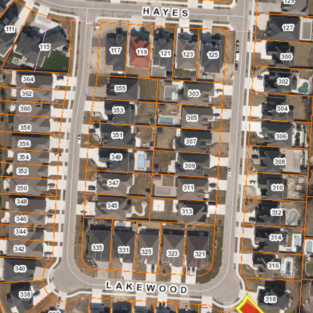
Streamline your business processes with Ontario’s most comprehensive land parcel database, supporting planning, analysis, and operational decisions.

Title Data
Know more about the properties you are working with sooner with all the property and ownership data you need in one convenient location, derived from authoritative land registration records.

Easement Program
Proactively manage and protect easement interests with this program, built to provide an integrated approach to easement projects using data that is reliable, accurate, and complete.

Address Solutions
From owner mailing addresses to detailed location data, gain valuable address intelligence to support outreach, compliance, and service delivery.
From Land Registry to Location Intelligence
7,500,000
+
200,000,000
+
Document & Plan images
8000
Average daily updates
2,000,000
+
Annual registrations
Built for the sectors that shape Ontario
Government & Public Sector
From municipal to provincial to federal level, we help governments plan services, understand property impacts, and support stronger communities with trusted mapping and property data.
Utilities & Telecommunications
Power, telecom, oil and gas, and more. Teranet provides valuable insights that improve decision making and increase project efficiency through various land data solutions.
Infrastructure & Transportation
Teranet understands the challenge of technology and big data, helping key infrastructure and transportation agencies increase efficiency, enhance projects, and planning.
Join 100s of customers that trust
Teranet for their spatial insights

I use it all the time, for me it is super helpful and a huge timesaver when investigating drainage complaints and future capital works projects. How did we live without it?
Paul, Drainage Engineer
City of Greater Sudbury




Our Partnerships


