Whether planning municipal housing needs, overseeing major infrastructure, or managing natural resources, governments at every level need a clear understanding of the land and properties in the communities they serve. Reliable land insight helps governments make decisions with greater confidence and coordinate more effectively across departments to deliver stronger community outcomes.

Government & Public Sector

Plan, Manage, and Serve Communities with Confidence
We connect government and public sector teams to trusted land and property intelligence from one authoritative source, supporting planning and administration, service delivery, and public policy.
Strengthen public works efficiency
Give field crews and operations teams timely access to accurate location and property ownership information needed for inspections, repairs, service requests, and work planning.
Accelerate building permits and development review
Municipalities need reliable property, boundary, and easement information to better assess applications, land use, impact to adjacent properties, and community growth.
Streamline taxation and analysis
Effective taxation, planning, and policy analysis depends on consistent, consolidated data that links land registration records to property assessment information.
Drive smart growth and housing
As communities grow, municipal and provincial governments need reliable data to understand development patterns, housing supply, and assess land use to support planning and investment.
Enhance environmental planning and conservation
Parcel-level details are critical for understanding proximity to sensitive areas for conservation programs, watershed planning, impact assessments, and environmental approvals.
Improve crown land and public asset management
Provincial and federal governments need authoritative data to effectively manage public land holdings, easements, and infrastructure assets.
Explore solutions for government and public sector

Ontario Parcel
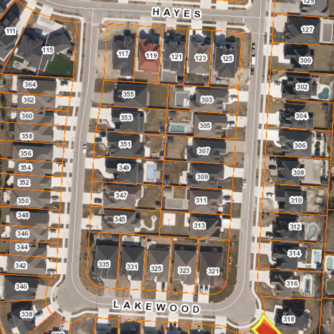
Support urban planning, infrastructure coordination, service delivery, and spatial analysis with Ontario-wide parcel mapping and supporting land data.

Title Data
Access property, ownership, legal description, instrument-based information, and address of service details to support planning, land administration, and owner notifications.

PIN-ARN Report
Eliminates data reconciliation by defining the relationship between the PIN(s) and ARN(s) to support municipal tax and assessment validation, and property research.

Easement Program
Identify, evaluate, map, and maintain easement information to help governments protect and manage assets, support building and development, and reduce easement risk.
Join 100s of customers that trust
Teranet for their spatial insights

I use it all the time, for me it is super helpful and a huge timesaver when investigating drainage complaints and future capital works projects. How did we live without it?
Paul, Drainage Engineer
City of Greater Sudbury