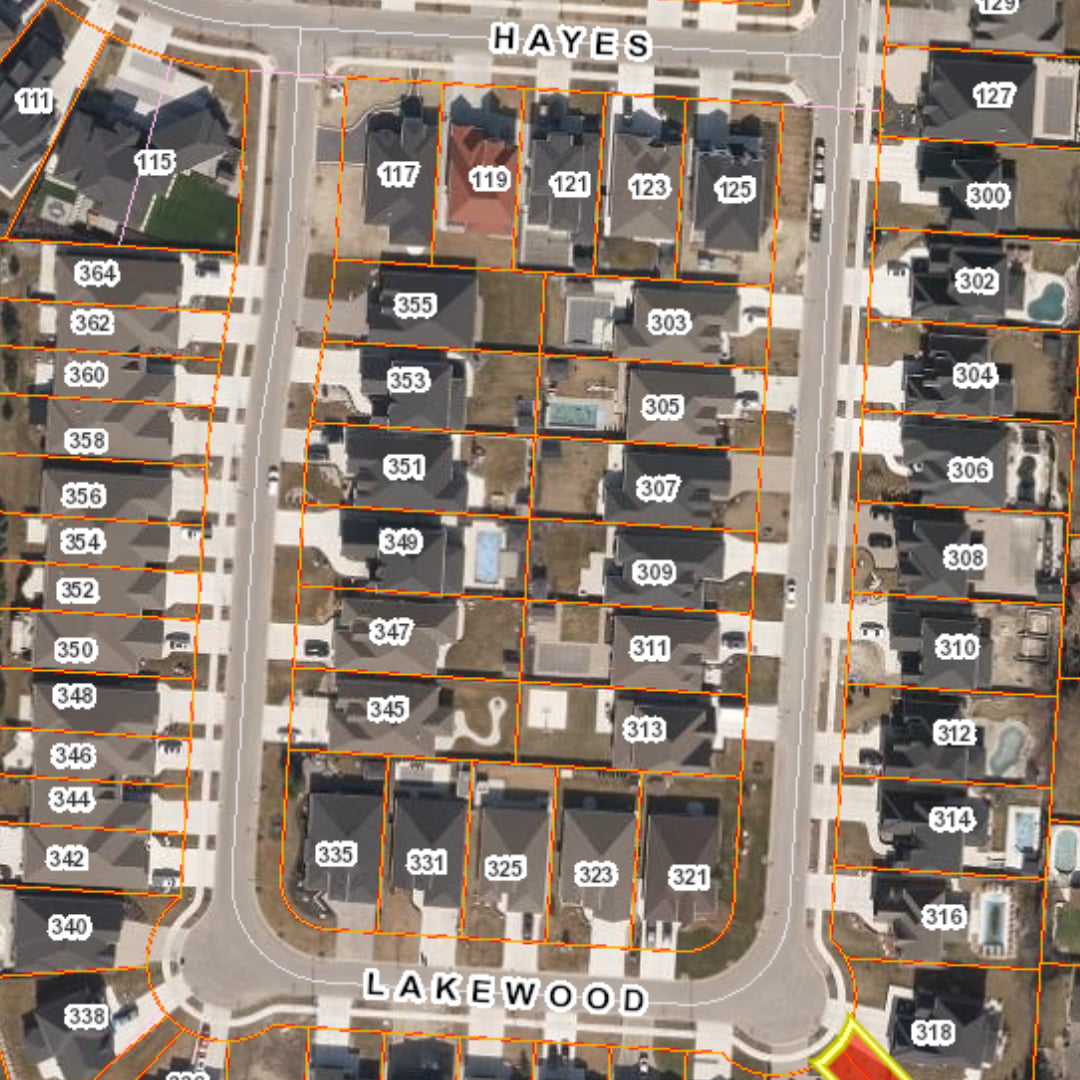
Organizations need current, accurate land and property information to plan infrastructure, manage assets, and deliver services across a region with confidence. Teranet brings together core property and ownership data from Ontario’s land registry system to enrich foundational parcel mapping, creating detailed geospatial datasets essential for location-based decision-making.

Title Data Products
Understand more about any property, so you can plan, analyze, and act with confidence using Ontario’s single authoritative source of title and ownership data, built directly from official Land Registry records.
Title Data Products

Understand more about any property, so you can plan, analyze, and act with confidence using Ontario’s single authoritative source of title and ownership data, built directly from official Land Registry records.
A single trusted source for Ontario property intelligence

Save time and costs on manual research and cross-referencing

Identify emerging trends with daily updates from active land registrations
Strengthen decision-making with ownership context and property insights
Build a more complete view with connected title and spatial data
Better insights lead to smarter decisions

Ownership Property Report
Property ownership and land registration details support more complete property research, due diligence, analysis, and identification. Get key ownership information in one convenient property report, such as owner name, legal description, address, instrument number, registration date, map PIN, and other title details derived from Ontario land registration data. Whether you’re confirming ownership on one parcel or building ownership context into a larger dataset, the Ownership Property Report can be customized based on your business needs.
PIN-ARN Index
Connect the right property to the right assessment information more efficiently with the PIN-ARN Index. By defining the relationship between Property Identification Number(s) and corresponding Municipal Property Assessment Corporation (MPAC) Assessment Roll Number(s), this index makes it easy for teams to cross-reference datasets. It is especially useful in complex situations where one PIN is linked to multiple ARNs, or multiple PINs relate to a single ARN, helping teams save time and work with greater confidence.

PIN-Plan Index and Plan Images
A property’s history often involves more than one plan type and plans may accumulate over time. The PIN-Plan Index makes it quick and easy to identify registered plans associated with an active Property Identification Number (PIN), saving you time tracking them down. This index catalogues subdivision, reference, condominium, and expropriation plan types for current existing properties. When spatially enabled, the index helps you identify, link, and view Plan Images to better understand the subject property
Address of Service Report
Many properties in Ontario aren’t occupied by their registered owner. Rentals, recreational homes, commercial buildings, vacant properties, or foreign-owned investments often have owners living elsewhere. The Address of Service Report makes reaching a property owner easier for compliance, asset management, property standards, or public safety purposes by providing the registered full mailing address for a property owner, not just the property’s address. Also known as Property Owner’s Mailing Address, this report is updated daily from official land registry records and is a valuable add-on to the Ownership Property Report.

Where Title Data makes a difference
- Infrastructure Planning and Management
- Utility Network and Grid Planning
- Transportation and Corridor Planning
- Asset Management and Operations
- Planning and Development
- Property Standards & By-Law Enforcement
Infrastructure Planning and Management
Understand every affected property along new or existing infrastructure in one pass, instead of researching each parcel separately.
Utility Network and Grid Planning
Understand all properties along a proposed line route, service territory, or facility site before construction begins.
Transportation and Corridor Planning
Identify affected properties and owners along a proposed road, rail, or transit corridor prior to design and land acquisition or expropriation planning.
Asset Management and Operations
Review and confirm property details against asset locations and records before field teams begin maintenance or operations work.
Planning and Development
Research and verify ownership, parcel details, and existing plans before a development or rezoning project moves forward.
Property Standards & By-Law Enforcement
Know more about the property and get detailed ownership information to support compliance and notification workflows.
Connect Your Teams to Authoritative Data
Standardized for easy integration into GIS platforms and enterprise systems, connect ownership context directly to the tools your teams already use.

Join 100s of customers that trust
Teranet for their spatial insights

I use it all the time, for me it is super helpful and a huge timesaver when investigating drainage complaints and future capital works projects. How did we live without it?
Paul, Drainage Engineer
City of Greater Sudbury